National Facilities


27
Jun
2024
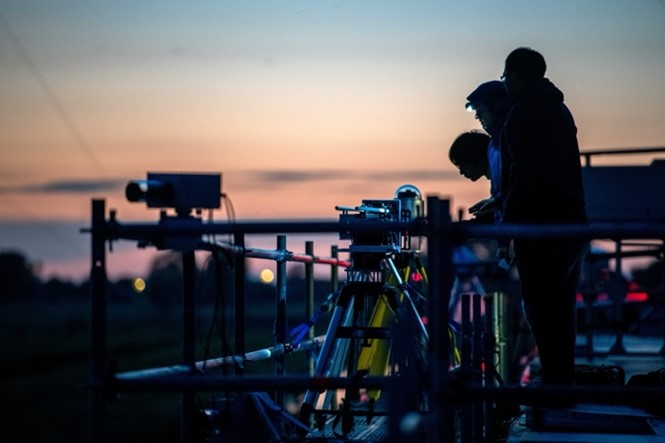
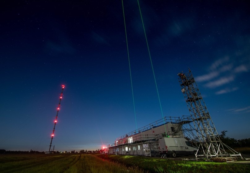
The Third Cabauw INtercomparison of UV-Vis DOAS Instruments (CINDI-3) was conducted in Cabauw as part of the ACTRIS-CREGARS activities for trace gas remote sensing. In the effort, more than 100 people from 16 countries worldwide, operating 44 instruments have participated. This international measurement campaign, which gathered many ACTRIS users measuring air pollution by remote sensing techniques, is the largest of its kind in the world.
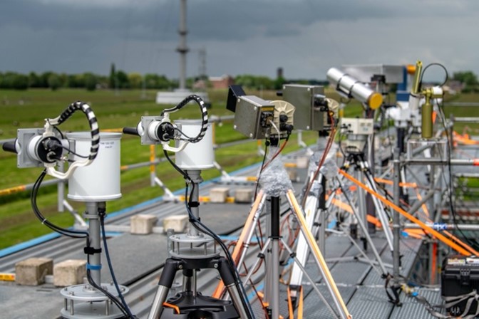
The main objective of the exercise is the intercomparison of MAX-DOAS instruments targeting nitrogen dioxide, ozone, aerosols and several other reactive gases such as formaldehyde, glyoxal and nitrous acid. With the successful intercomparison, under challenging weather conditions, the instruments can reliably support the validation of space-borne instruments aimed at measuring air pollution, such as the current Sentinel-5p/TROPOMI and GeoKOMPSAT-2B/GEMS as well as future Copernicus instruments on Sentinel-4 and Sentinel-5 missions.
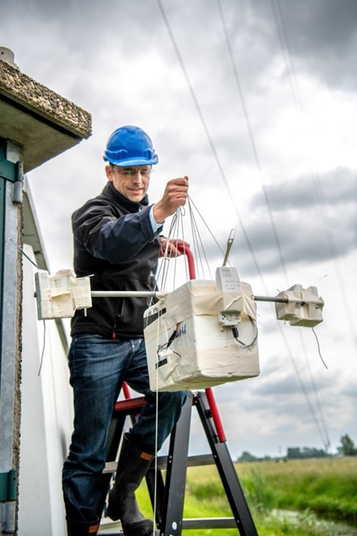
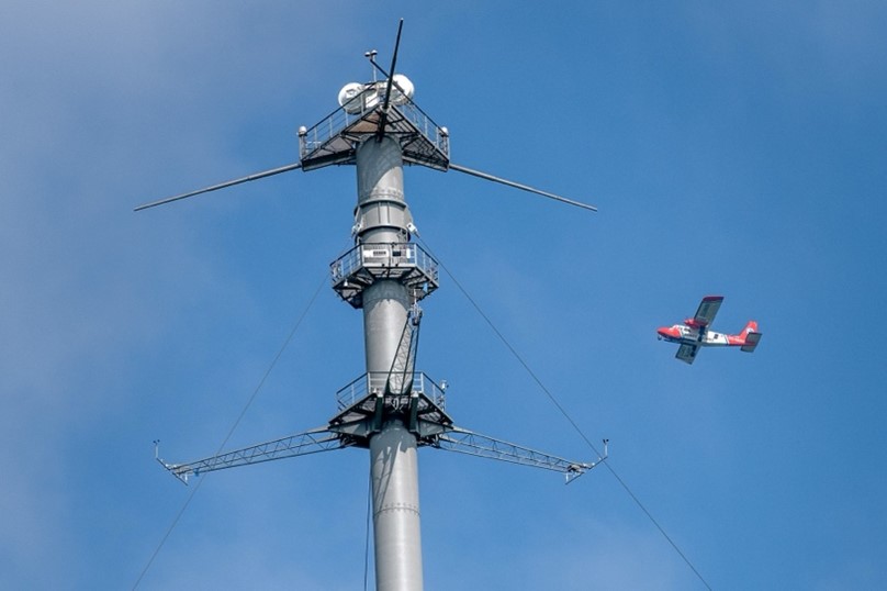
The MAX-DOAS instruments measure air pollution by analyzing the spectrum of scattered sunlight affected by substances in the atmosphere. Other instruments have been deployed in the neighborhood of the KNMI measuring mast at Cabauw, forming the detailed 'décor of the performance'. Lidars, NO2 and ozone sondes, cars and bikes equipped with instruments and a small research aircraft have also taken measurements. Altogether, more than 60 different sensors were deployed in CINDI-3 in the region ranging from the coast to further inland to, Rotterdam, Cabauw and De Bilt. With this extensive set of ancillary data, a very complete image of the distribution of pollutants from the industrial and urbanised area around Rotterdam could be compiled.
CINDI-3 is the third exercise of its kind after CINDI-2 in 2016 and CINDI in 2009. First and foremost is the importance of data of known quality for applications in weather, climate and air quality, in the long term. There is a great need for proper global validation of satellite instruments from the ground.
Researchers come to Cabauw to compare their air pollution measuring instruments and assess their accuracy. These instruments, in turn, once back in their own place in the world, play a role as a reference for satellite instruments that measure air pollution from space. CINDI-2 was an important step for the validation of TROPOMI, a Dutch-made satellite instrument launched in 2017. In turn, the CINDI-3 measurement campaign is a preparation for the upcoming Sentinel-4 and Sentinel-5 satellites. To ensure long-term validation of satellite measurements, the European Space Agency (ESA) has set up the Fiducial Reference Measurements (FRM) Programme to develop reference data for satellite validation. CINDI-3 and the FRM4DOAS projects are part of this programme focusing on reference data for air quality and ozone.
The CINDI-3 measurement project connects satellite air quality and ozone measurements with ground-based measurements, along with the latest advances for smallest-scale air quality measurements currently possible.
Access to the Cabauw Atmospheric Research Station was supported by ACTRIS-NL, the ATMO-ACCESS Trans National Access programme, as well as ESA through the FRM4DOAS project.